The State of Nagaland was formally inaugurated on December 1st, 1963, as the 16th State of the Indian Union.
It is bounded by Assam in the West, Myanmar (Burma) on the east, Arunachal Pradesh and part of Assam on the North and Manipur in the South.The State consists of 16 (Sixteen) Administrative Districts, inhabited by 17 major tribes along with other sub-tribes. Each tribe is distinct in character from the other in terms of customs, language and dress.
It is a land of folklore passed down the generations through word of mouth. Here, music is an integral part of life; folk songs eulogising ancestors, the brave deeds of warriors and traditional heroes; poetic love songs immortalising ancient tragic love stories; Gospel songs that touch your soul (should you have a religious bend of mind) or the modern tunes rendered exquisitely to set your feet a-tapping.
Each of the 17 odd tribes and sub-tribes that dwell in this exotic hill State can easily be distinguished by the colourful and intricately designed costumes, jewellery and beads that they adorn.
The present generation of Nagas have ventured into fashion designing in a big way, reproducing fabrics that represent the ancestral motifs blended with modern appeal. Indeed, it is a beautiful mix of the past with the present,a paradise for those who are into fashion designing. This is an affluent fashion station of the East.
The traditional ceremonial attire of each tribe is in itself, an awe inspiring sight to behold; the multicoloured spears and daos decorated with dyed goats hair, the headgear made of finely woven bamboo interlaced with orchid stems, adorned with boar's teeth and hornbill's feathers, elephant tusk armlets. In days of yore every warrior had to earn each of these items through acts of valour, to wear them.
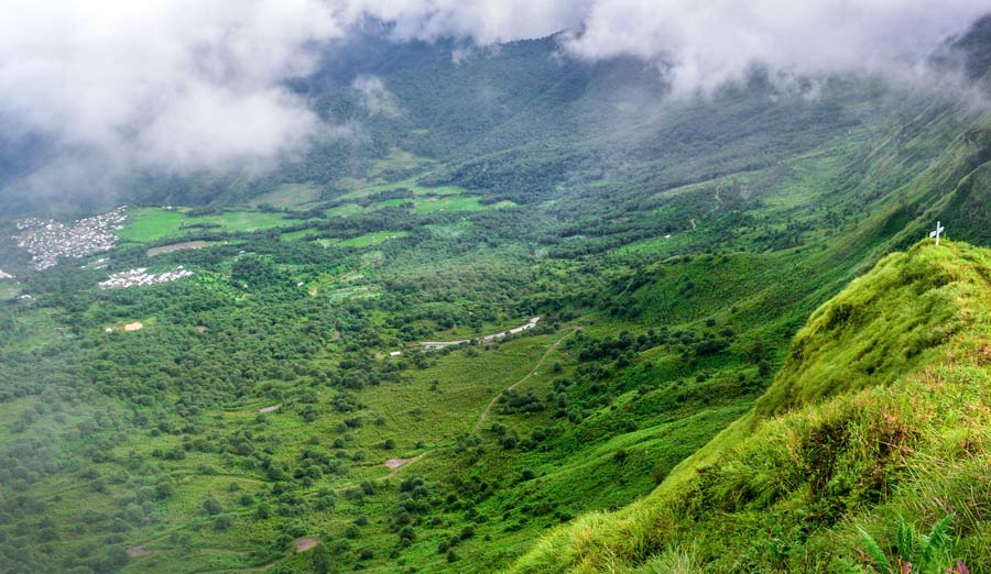
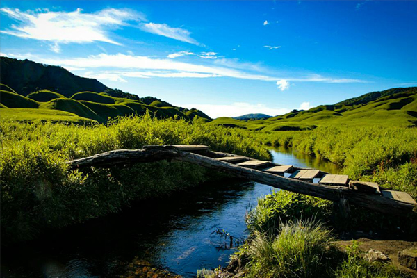
Nature could not have been kinder to Nagaland, sometimes referred to as the Switzerland of the East; the exquisitely picturesque landscapes, the vibrantly colourful sunrise and sunset, lush and verdant flora, this is a land that represents unimaginable beauty, moulded perfectly for a breath taking experience.
Its people belong to the Indo-Mongoloid stock, whose ancestors lived off nature's abundant gifts, blessed with sturdy formidable dispositions. Above all, the people here are warmhearted and extremely hospitable.
Nagaland is blessed with salubrious climate throughout the year and one can visit it anytime. If one is looking for a quiet getaway, from the hustle and bustle of city life, it provides the right ambience; as life here is laidback and slow - providing a tension free life.
For the adventurous and the intrepid, Nagaland is an ideal place for trekking, rock climbing, jungle camping and offers limitless exploration possibilities in its lush and verdant sub-tropical rain forests which are also a treasure trove of a plethora of medicinal plants.

- Area : 16,579 square kilometres (6,401 sq mi)
- Sate Capital : Kohima (1,444.12 m above sea Level)
- Population : 19,78,502 persons (2011 Census of India)
- Biggest Village : Kohima Village
- Official language : English
- Average Rainfall : 1800-2500 mm
- Highest peak : Saramati peak, Kiphiri District (3,840 m)
- Commercial Centre : Dimapur
- Tribes : Angami, Ao, Chakhesang, Chang, Kachari, Khiamniungan, Konyak, Kuki, Lotha, Phom, Pochury, Rengma, Sangtam, Sumi, Tikhir, Yimkhiung, Zeliang
- Districts : Chumoukedima, Dimapur, Kiphire, Kohima, Longleng, Mokokchung, Mon, Niuland, Noklak, Peren, Phek, Shamator, Tseminyu, Tuensang, Wokha, Zunheboto
